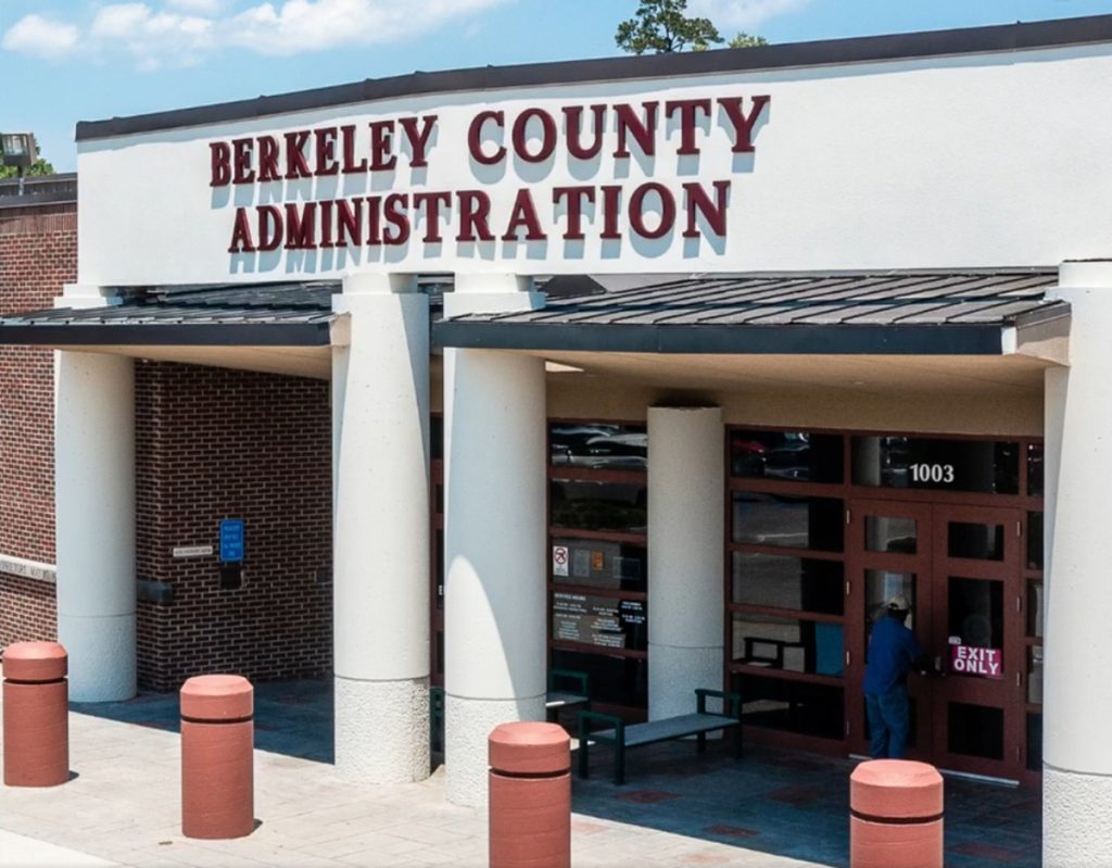
BERKELEY COUNTY, S.C. – Berkeley County authorities are taking precautionary steps ahead of potential heavy rainfall and flooding this weekend, as a tropical disturbance in the Atlantic — currently designated as Invest 94L — edges closer to the Southeast.
County emergency officials said Friday they are closely monitoring forecasts and have already begun staging resources. Crews with Berkeley County Roads and Bridges are inspecting flood-prone areas, storm drains, and culverts to reduce the risk of localized flooding.
Emergency Operations Status
The county’s Emergency Operations Center remains at OPCON 3, meaning normal operating conditions. Still, leaders urged residents to prepare now by reviewing the county’s hurricane guide, available in English, Spanish, and Portuguese.
📣 STAY IN THE LOOP 📣
📰 Sign Up for Berkeley County, SC Newsletter ⬅️
“We want residents to take advantage of the calm before the storm,” county officials said in a statement. “Simple steps like checking your emergency kit, making sure you know your evacuation routes, and staying informed can make a big difference.”

Sandbag Locations
Sandbags are available for pickup at several self-serve locations on a first-come, first-served basis. Sites include:
- Hanahan Recreation Center Ballfields: 3100 Mabeline Road, Hanahan
- Goose Creek Public Works: 200 Button Hall Avenue, Goose Creek
- Cainhoy Rural Vol. Fire Department – Station 6: 1004 United Drive, Huger
- Cainhoy Rural Vol. Fire Department – Station 1: 2125 Cainhoy Road, Huger
- Cordesville Rural Vol. Fire Department – Station 1: 1931 SC-402, Moncks Corner
More sites could be added as conditions warrant.
Citizen Call Line and Alerts
The county’s Citizen Call Line (843-719-4800) is open 24/7 for non-emergency questions, with an automated system providing updates on utility providers, sandbag availability, and storm details. Emergency calls should still be directed to 911.
Residents can also receive real-time updates by following Berkeley County Government on Facebook, visiting the county’s website, or signing up for the Emergency Notification System.
Looking Ahead
Tropical System 94L has not yet been named but could strengthen into a tropical storm as it approaches the Southeast coast early next week. The National Weather Service continues to track the system, and officials are urging residents to remain vigilant.
For the latest weather alerts, residents are encouraged to follow updates directly from the National Weather Service.


