
BERKELEY COUNTY, S.C.–Newly revised preliminary digital flood insurance rate maps for Berkeley County, S.C., will be available for residents to review at a public open house on Aug. 10, 2016, from 4 p.m. to 7 p.m. at the Berkeley Electric Coop Meeting Hall in Goose Creek.
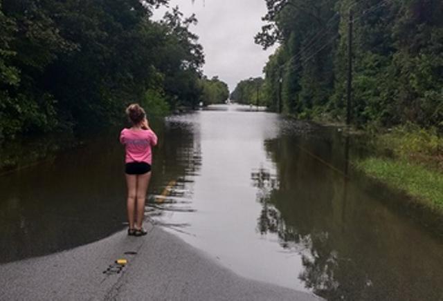
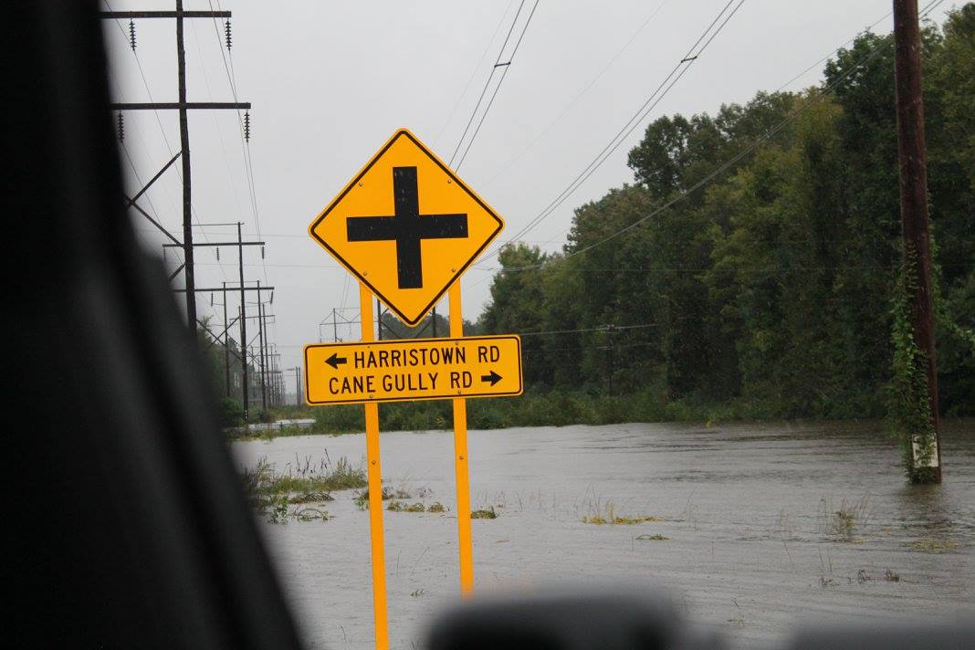
Flood maps show the extent to which areas are at risk for flooding and are used to help determine flood insurance and building requirements.
The open house provides residents of Berkeley County and its municipalities the opportunity to see the preliminary maps, learn about their risks of flooding and ask questions about what the new maps will mean for their property.
Residents can meet one-on-one with a variety of specialists who will be available to talk about flood insurance, engineering, building permits and more.
The new preliminary maps were produced through a partnership among Berkeley County, the S.C. Department of Natural Resources (SCDNR), and the Federal Emergency Management Agency (FEMA). They are more precise than older maps because better flood hazard and risk data make the maps more accurate.
The ultimate goal is protecting property owners and the community from the risks associated with flooding. Over time, flood risks change due to construction and development, environmental changes, floodplain widening or shifting and other factors. Flood maps are updated periodically to reflect these changes.
Home and business owners, renters, realtors, mortgage lenders, surveyors and insurance agents are encouraged to attend the open house. All who attend can meet with specialists to ask questions and learn more about flood risk and hazard mitigation within their communities.

Berkeley County’s preliminary maps have not yet been officially adopted and will become effective after a public comment period. This period allows the public to submit comments and appeals if they can show that any part of the maps is in error. Once all comments are received and addressed, Berkeley County may adopt the maps.
By law, federally regulated or insured mortgage lenders require flood insurance on properties that are located in areas at high risk of flooding. Standard homeowners’, business owners’, and renters’ insurance policies typically don’t cover flood damage, so flood insurance is an important consideration for everyone.
Flood insurance policies can be purchased from any state licensed property and casualty insurance agent. Visit www.floodsmart.gov for more information about flood insurance and to locate a local agent.
The address for the open house location is:
Berkeley Electric Cooperative
2 Springhall Rd.
Goose Creek, SC 29445


Recent Comments